Precision Aerial Imaging and Data Solutions
At Sky Horse, we specialize in advanced aerial imaging services using LiDAR, Thermal, and RGB technologies. From mapping and surveying to ISR applications, we provide accurate and reliable data to support government and commercial projects.
Everything you need under one wing
Our capabilities span a wide range of advanced technologies and assets to meet your aerial imaging needs
Aircraft
![]()
Our fleet of advanced aircraft supports long-range ISR, aerial surveys, and precision imaging, delivering reliable and timely data.
Lidar

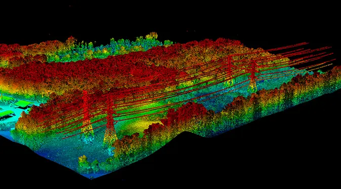
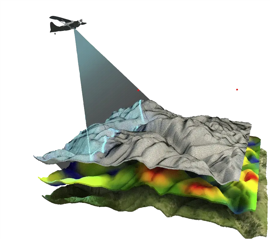
We utilize LiDAR for high-precision terrain mapping and modeling, supporting ISR operations, infrastructure security, and mission planning.
Thermal

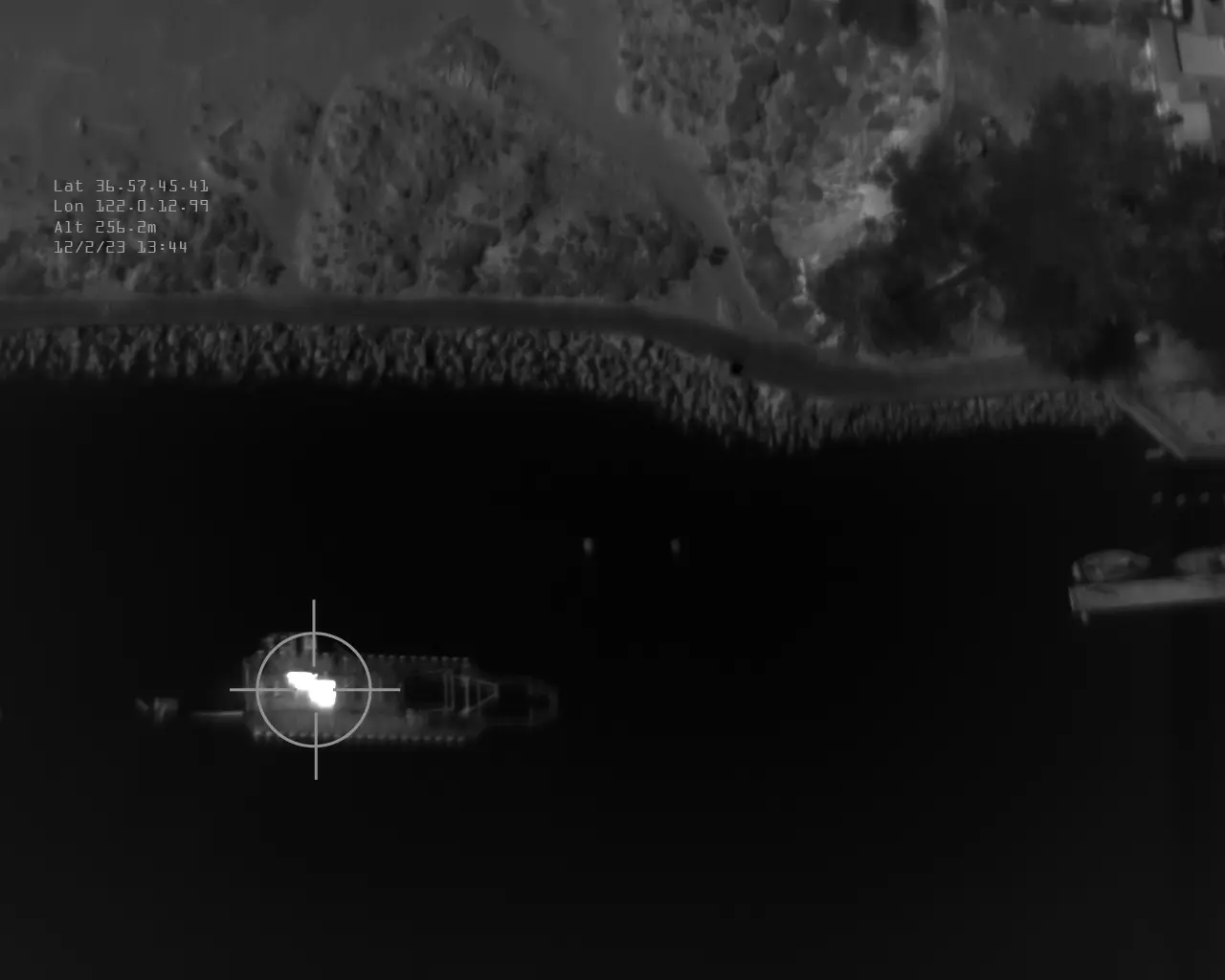
We capture high-resolution thermal imagery for mapping, fault detection, and ISR, ensuring critical data for operational success.
RGB
![]()
We capture high-resolution RGB imagery for mapping, analysis, and ISR, providing clear visuals for actionable insights.
"From the skies to actionable insights, we transform advanced imaging into powerful solutions."
Custom GIS software solutions
Our custom software seamlessly processes and analyzes aerial data, delivering actionable insights with precision and ease.


Leverage Advanced Imaging Solutions
Leveraging cutting-edge technology, our advanced imaging solutions deliver unmatched accuracy and clarity for every mission
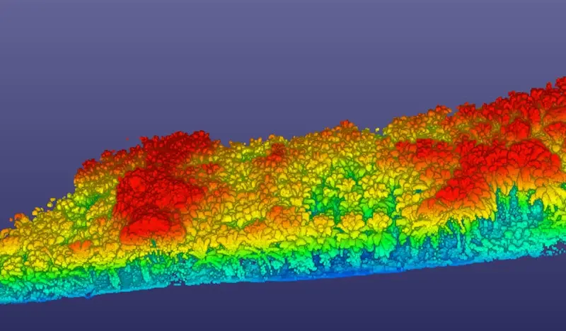
Environmental Assesment
Vegetation Assessment: Monitoring health, density, and changes in vegetation.
Wildfire Assessment: Pre-fire risk analysis and post-fire impact evaluation.
Beetle Damage Assessment: Detection and mapping of pest-infested forest areas.
Fuel Density Mapping: Analysis of combustible material for wildfire mitigation.
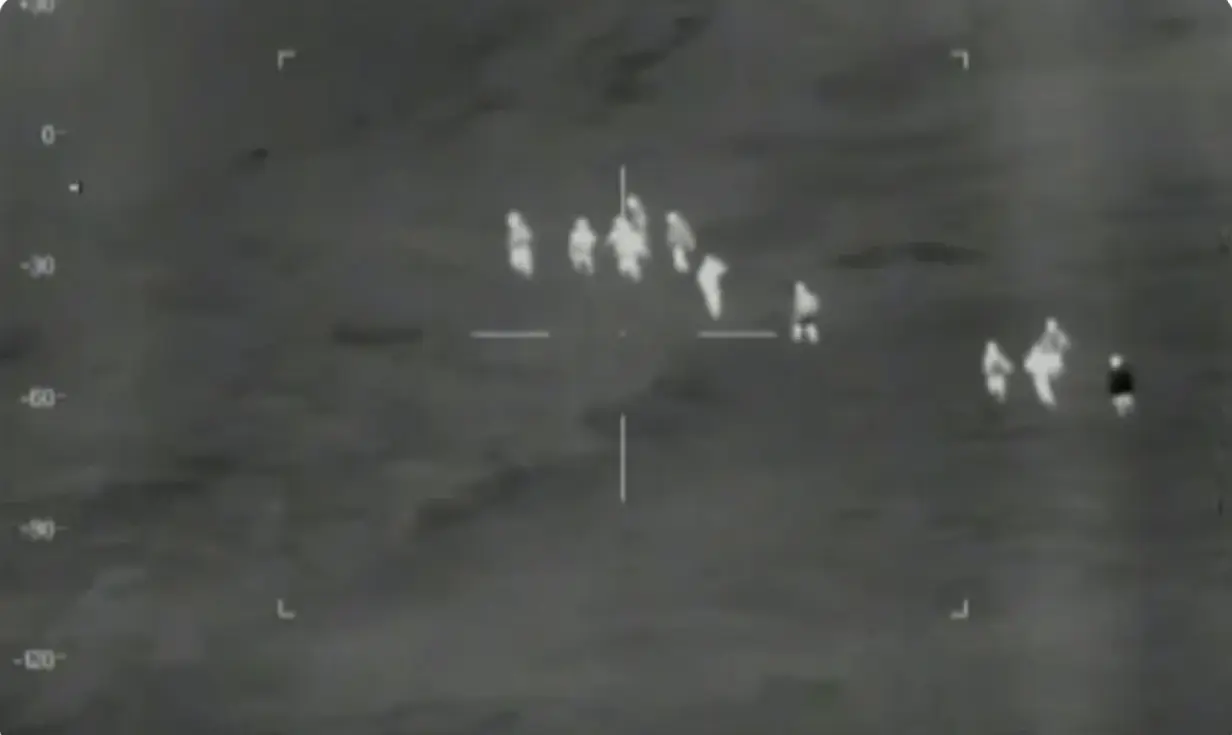
ISR (Intelligence, Surveillance, and Reconnaissance)
Border Patrol: Real-time aerial surveillance to monitor and secure national borders.
Maritime Surveillance: Coastal monitoring, ship detection, and smuggling prevention.
Search and Rescue (SAR): Rapid deployment for locating and assisting in emergencies.
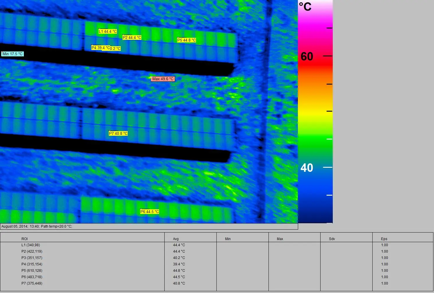
Infrastructure Inspection
Solar Inspections: Thermal imaging to detect faults in solar panels and systems.
Powerline Inspections: High-resolution imaging for detecting wear, corrosion, and vegetation encroachment.
Oil Line Inspections: Monitoring for leaks, corrosion, and structural integrity.
Top questions answered
At Sky Horse, accuracy and reliability are at the core of everything we do. We use state-of-the-art equipment, including LiDAR, high-resolution RGB cameras, and advanced thermal imaging systems. Our experienced team meticulously plans each mission and employs rigorous post-flight data processing to deliver precise and actionable insights. Whether it’s terrain mapping, fault detection, or ISR operations, our clients can trust that our data meets the highest standards of quality and integrity
Sky Horse combines cutting-edge technology with a customer-first approach. Our versatile fleet of aircraft and integrated sensors are operated by highly trained professionals, ensuring every mission is executed with precision and efficiency. We pride ourselves on our responsiveness, customized solutions, and commitment to exceeding client expectations. With Sky Horse, you’re not just hiring a service provider—you’re gaining a dedicated partner in achieving your goals.
Sky Horse is equipped to respond quickly to client needs, with typical mission planning and execution completed within 5-10 business days. For time-sensitive projects, such as ISR operations or emergency surveys, we offer expedited scheduling options. Our streamlined processes and flexible approach ensure that we deliver results on time, every time, without compromising quality.
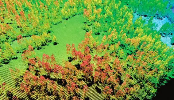
Trusted by organizations nationwide to deliver deep insights through advanced imaging solutions.
Contact us today to discover how we can support your data and analysis needs.
What you will get
Exceptional experience
Rapid response support
Complete access to aviation insights
Contact Us